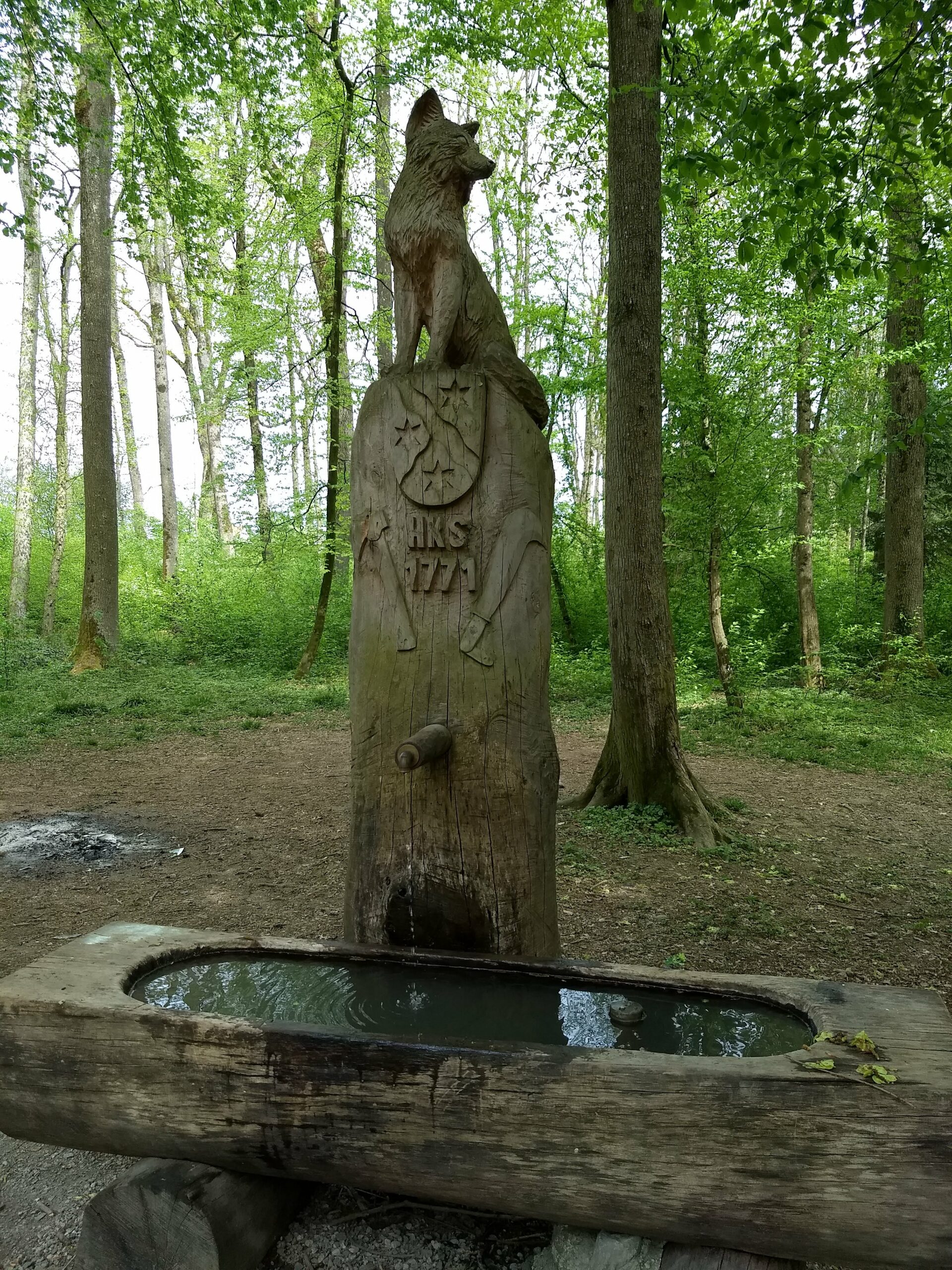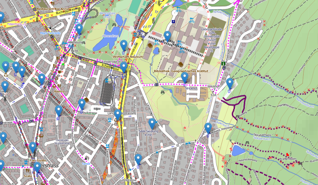
As we moved to Zurich recently, I have been exploring the city by running. Many of the days have been pretty warm and we unfortunately misplaced the running belt while packing our stuff for the move. Fortunately Zurich has around 1200 public water fountains to drink from, and even better there is a dataset containing all the locations of the fountains (https://data.stadt-zuerich.ch/dataset/geo_brunnen). Matthew Moy has build a map (https://skyplan.ch/maps/zurich-water/) on top of the dataset which is pretty good, but the graphics are not designed for outdoor activities and centering to current location seems to only work once per page load.
As the data is open, I decided to build simple and pretty light weight map page which contains up to date (2020) locations of the water fountains: https://buq2.github.io/zurich-water-fountains-map/
The map graphics are more suited for outdoor activities and the page also draws the users route which hopefully helps when trying to orient yourself while trying to find nearest fountain. I hope some one else also finds the map useful.